Musala

We attempted to hike to Musala yesterday. We underestimated the time and effort for it and not only couldn’t reach the top but also got crushed and had bad sunburns.

The gondola to Yastrebets starts working at 8:30, which is when the journey should’ve started. Works until 18, which is when it should’ve ended. However, this is too much walking for a 6-year-old and his parents who are not in the best shape.

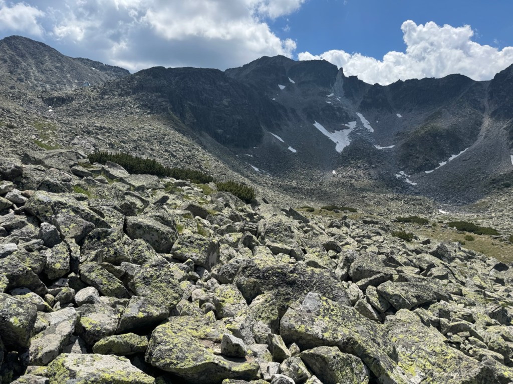
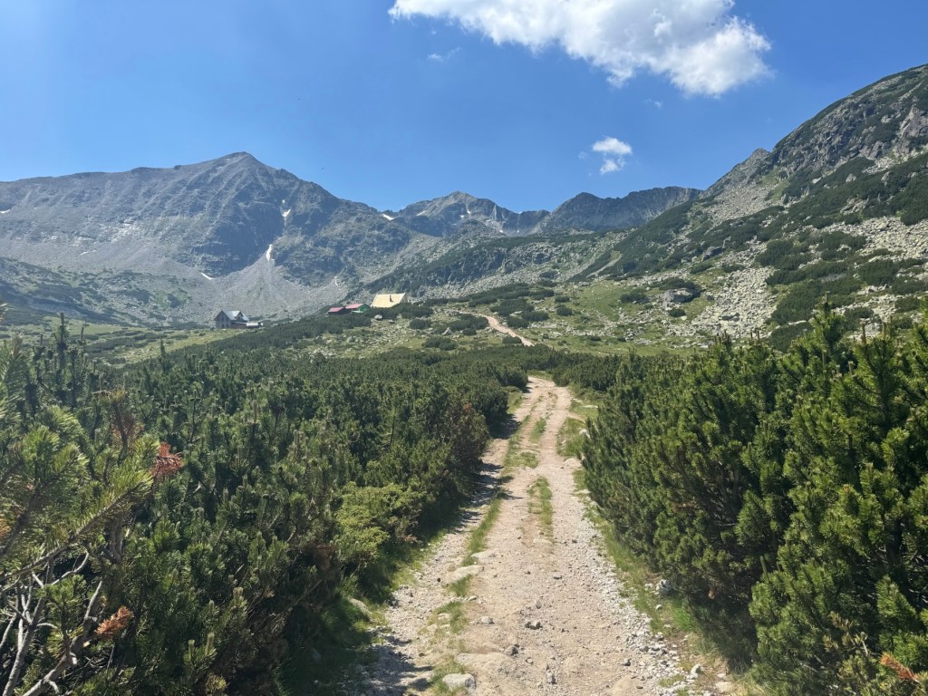
We set ourselves a time limit and turned around after 3h of walking, at around 2600 meters altitude, close to the Everest chalet. We needed another hour and some extra energy to reach the top. I think it’s doable with more stops and colder weather. We ended up doing 23000 steps on that day. Another 2 hours of walking would’ve made that 33000, way above anything we’ve done over the last 10 years.

It’s not that bad that we didn’t reach the summit because we only had one of the kids with us. Saved ourselves from the trouble of not having both of them. We may try again on a colder weekend, although with our current capabilities, the success is not guaranteed.
From Kartala to Macedonia Hut

We did our first true hike since we had children. I know we’ve been to Vitosha many times but Vitosha is almost a city park, it has lots of visitors, easy access, and is a low-effort adventure. Rila, on the other hand, is more remote, higher, and more scenic.

Our starting point, Kartala, is a small ski resort, 28 kilometers away from Blagoevgrad. The asphalt road to it is in a fine condition., Hut Macedonia is about about 9km further up in the Rila mountain. It should’ve been an easy 2.5h walk, according to all the websites we found. It might be 2.5 hours but you need to be in a good shape for it. For people like us, 3-4h is more realistic.

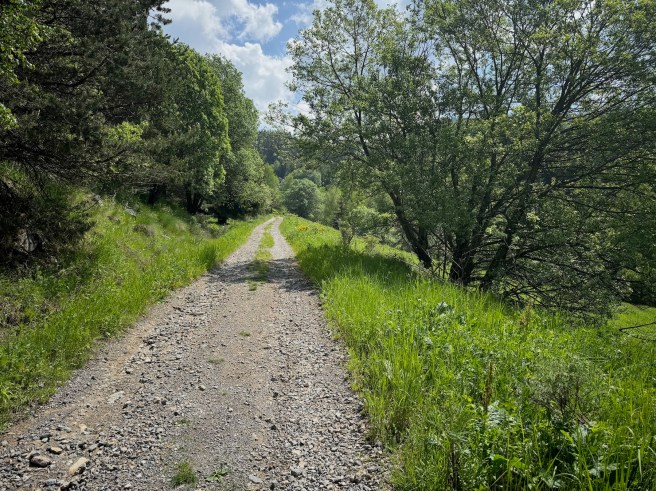
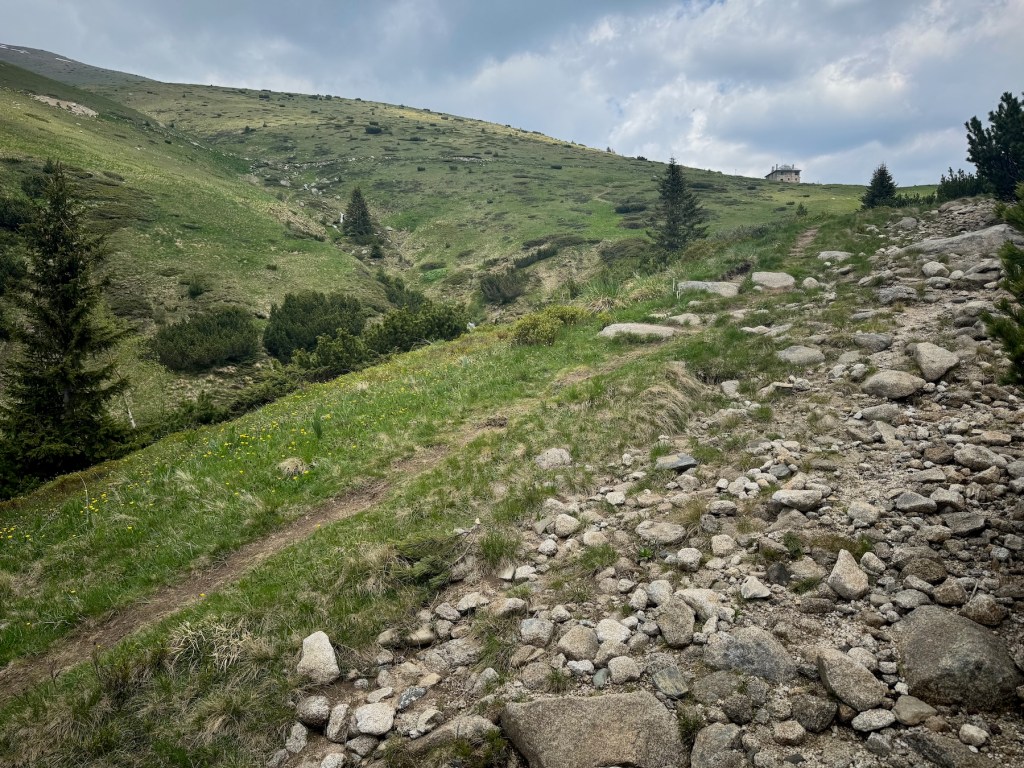
The path looks like this:

The trail is also accessible by vehicles with permit. It is used for supplying the hut and the nearby maintain rescue group. There are 3-4 well marked shortcuts that can cut maybe 2 kilometers from the total walk but are steeper and we only took them on the way down.

It starts as a continuation of the road Blagoevgrad-Kartala, however I would advise using the free parking at Kartala. The part of the road accessible for the public is maybe a few hundred meters and not worth breaking your car.

Took us 3h 10 min without any breaks for a total of about 26000 steps both ways, which is very close to my personal best since my phone started tracking in 2015.

We didn’t have any food so we were very happy that the hut keeper cooked for us and fed us well. The food was great.

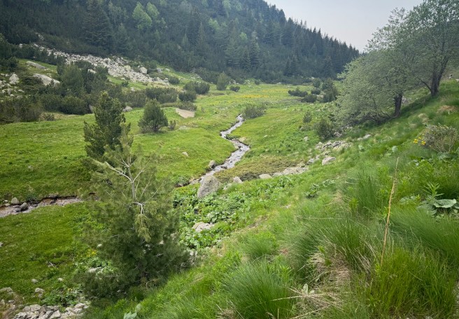
The area is full of tiny creeks that all go to this small river, called Bistritza. I’d say it was moist. Lots of berries everywhere, still green, but once they’re ripe, the path will become even more challenging 😃

The altitude gain of this route is about 730 meters.