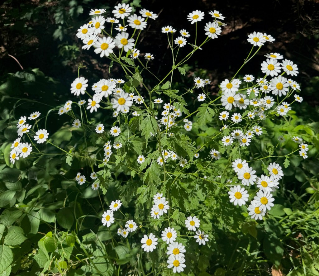
Took a photo of this beautiful daisy-like shrub today so I can identify it later.
Turns out, it’s a traditional remedy for headaches and migraine (source), although the statistically significant impact is questionable.
Cats, good books, AI, and religious walking in the city of Sofia
Took a photo of this beautiful daisy-like shrub today so I can identify it later.
Turns out, it’s a traditional remedy for headaches and migraine (source), although the statistically significant impact is questionable.
The peak in the back is Vihren.

Last year, I set a personal goal to go back to it. I think good personal goals should be difficult, and back in 2024, this felt like a tough one.
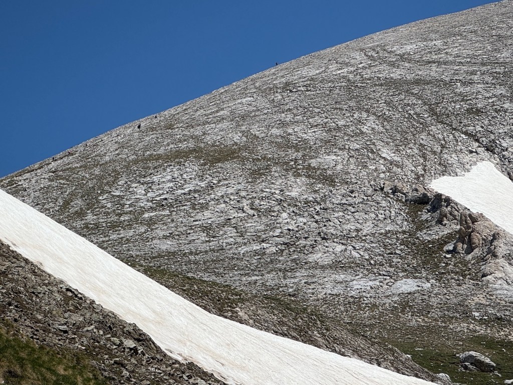
Zoom in to see people going uphill. The whole path is consistently steep, consistently slippery, and feels long. The final limestone hill is about 1/5 of the whole hike, and probably the easiest part.

We did it.
I think it’s better for younger and lighter folks. It didn’t strike me as a difficult peak when I was in my 20s but felt like Everest this time. We crawled so slowly that the Apple Watch kept suggesting to end the hiking session, and wasn’t able to count the steps. First 1 hour was 1000 steps, according to it. We didn’t enjoy any part of it, it was hard all the way, and remained painful after we were back.
In any case, the main walking goal for 2025 is achieved. I’ll try finding some longer but less steep hikes that require patience and endurance rather than good knees for the next goal. An alternative would be to set a goal for the whole family because adding the kids to the equation makes everything far more challenging. One of the kids seems to be interested in hiking. A potential route could be Malyovitza, another peak I mentioned here as a place I’m unlikely to visit again. It’s less steep, the main path is longer, and goes by lakes that can make good blog posts 🙂

Gentiana verna or Tintyava in Bulgarian. 🇧🇬
Photo taken during our Saturday hike in the mountains.
We did our first true hike since we had children. I know we’ve been to Vitosha many times but Vitosha is almost a city park, it has lots of visitors, easy access, and is a low-effort adventure. Rila, on the other hand, is more remote, higher, and more scenic.
Our starting point, Kartala, is a small ski resort, 28 kilometers away from Blagoevgrad. The asphalt road to it is in a fine condition., Hut Macedonia is about about 9km further up in the Rila mountain. It should’ve been an easy 2.5h walk, according to all the websites we found. It might be 2.5 hours but you need to be in a good shape for it. For people like us, 3-4h is more realistic.
The path looks like this:
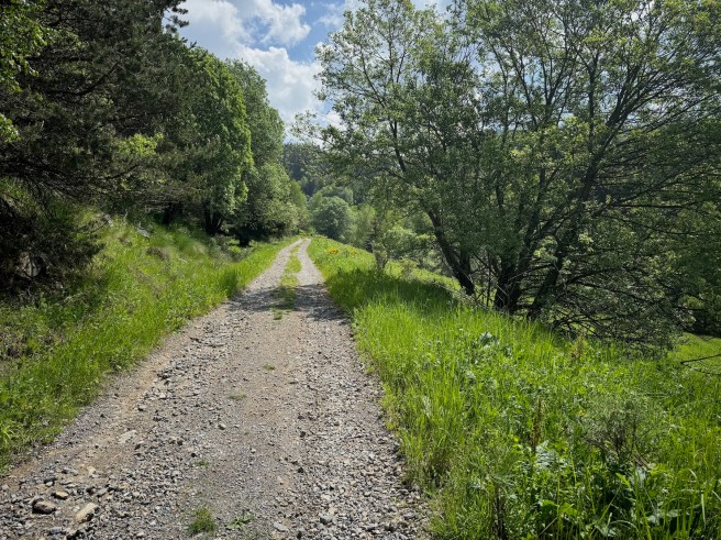
The trail is also accessible by vehicles with permit. It is used for supplying the hut and the nearby maintain rescue group. There are 3-4 well marked shortcuts that can cut maybe 2 kilometers from the total walk but are steeper and we only took them on the way down.
It starts as a continuation of the road Blagoevgrad-Kartala, however I would advise using the free parking at Kartala. The part of the road accessible for the public is maybe a few hundred meters and not worth breaking your car.
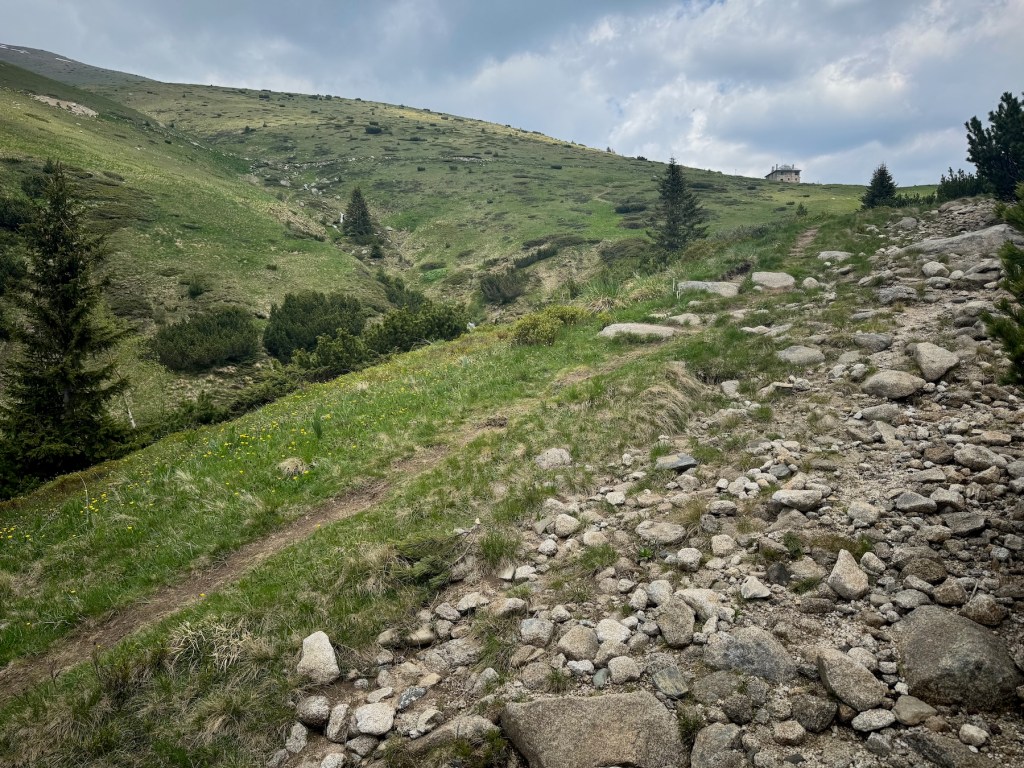


Took us 3h 10 min without any breaks for a total of about 26000 steps both ways, which is very close to my personal best since my phone started tracking in 2015.
We didn’t have any food so we were very happy that the hut keeper cooked for us and fed us well. The food was great.
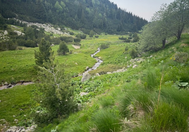
The area is full of tiny creeks that all go to this small river, called Bistritza. I’d say it was moist. Lots of berries everywhere, still green, but once they’re ripe, the path will become even more challenging 😃
The altitude gain of this route is about 730 meters.

Found outside of Blagoevgrad.

