Malyovitsa

We returned to the ski zone Malyovitsa last weekend with the hope to go a bit further up the mountain than before. The stars didn’t align to achieve that but we still had a nice and fruitful hike.

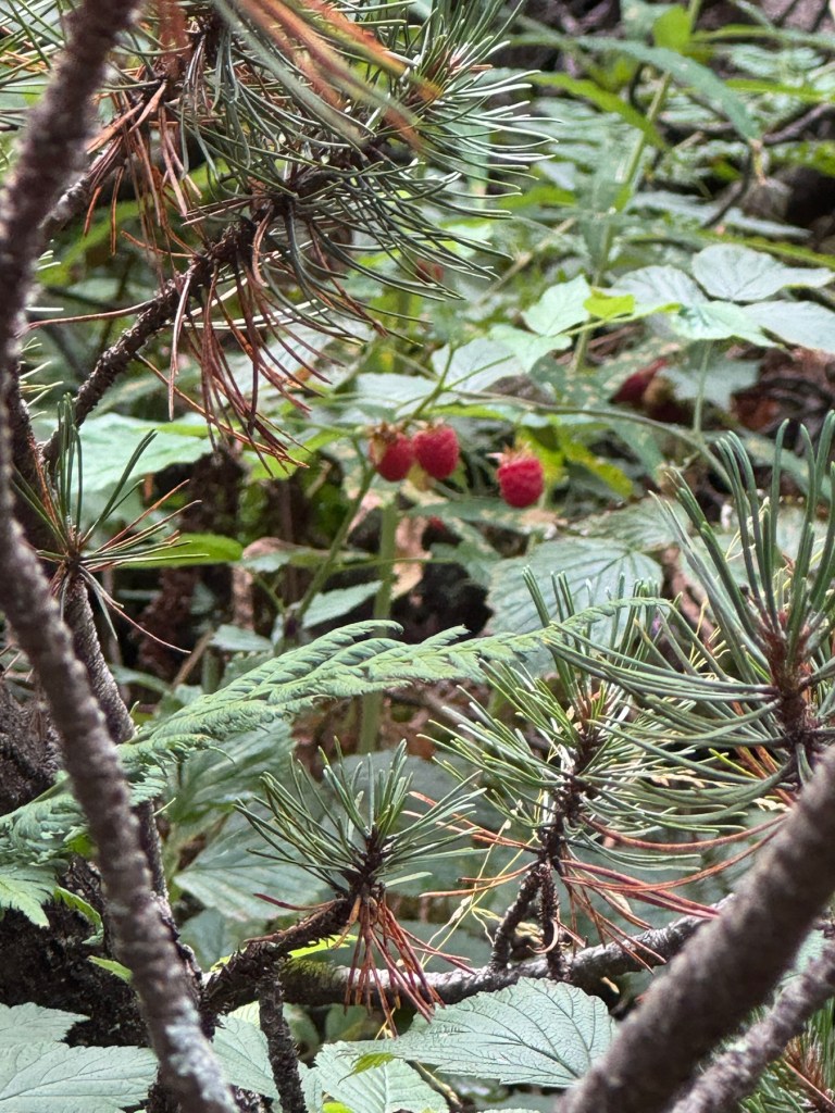
The fruit:

BTW, if you decide to visit the area of Malyovitsa, Hotel Malyovitsa is much better than Hotel Alpinist. Both are similarly renovated and priced but Alpinist was destined to be a hut, not a hotel.

Malyovitsa

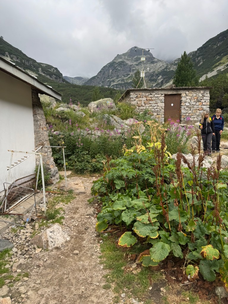
Malyovitsa is a 2729 meters tall peak in Rila, one of the prettiest in the country. It’s relatively accessible from Sofia by car. The ski zone Malyovitsa is about 1h 30 min away from Sofia. The road is renovated, almost nothing is left from the legendary potholes after Govedartsi.

We used to visit frequently when we were younger. However, over the years, rather than going to the peak, we started going to Mecha Polyana for kebapcheta and bean soup, and eventually stopped even that.

With our renewed interest in hiking, the peak is a possible next annual goal, after we managed to reach Vihren. The starting point would be Hotel Malyovitsa at around 1700 meters. The peak is supposed to be 4h away, and +1029 meters, a bit longer than Vihren but also easier because the path is less steep and not technically challenging. The main problem would be finding moderately cold weather with no snow.

Despite being very close to the Rila Monastery, the monastery is out of reach. It’s 9+ hours of walking. If you’re going to the Rila Monastery and saw that this is right next, it is only close if you’re an eagle. Not even close by car – you would need to circle around the mountain, which can be about 2h of driving.

The hotel is renovated, and the nearby hotel Alpinist, formerly known as ЦПШ, is also undergoing renovation. They are building an indoor pool and turning it into a spa center with a museum. The food is fine.

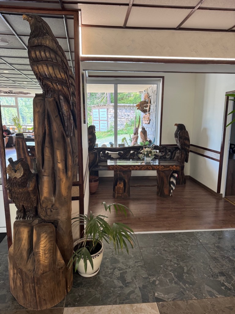
I’m glad they kept the wood works from before, keeping a bit of the old Malyovitsa spirit. We had a good weekend there. Didn’t attempt to go to the top but had some blueberries.

From Kartala to Macedonia Hut (2)

We went to Macedonia Hut in June – and it felt like a great hike. Kartala has a good asphalt road and a large free parking, which makes it a very convenient starting point. Most of the hike is in the forest, which was great, given the heat wave over the last week.

This second time, we took all the possible shortcuts and slowed the pace as much as we could. As a result of both, we managed to reach the hut in slightly over 3h. The path with the shortcuts is slightly above 8km, +720~~ meters. Without the shortcuts, it’s over 9km.

It has these brand and new slightly optimistic signs. The actual distance as measured by our smart devices varied by +300 to +600 meters. I think some of the expected signs are not yet installed because we couldn’t find them.

The hut keeper cooked us food and the day was fine. We rolled back down tired and well fed.